
This Hazardous Weather Outlook is for portions of north central
Illinois…northwest Illinois…west central Illinois…east
central Iowa…northeast Iowa…southeast Iowa and northeast
Missouri.
.DAY ONE…THIS AFTERNOON AND TONIGHT
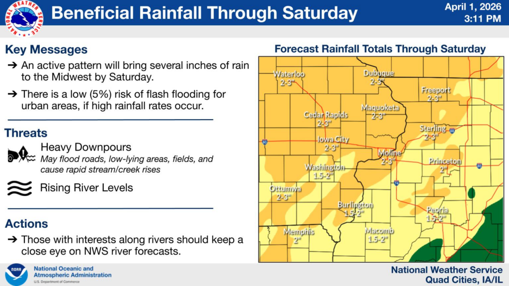
Widespread showers and scattered thunderstorms are expected
tonight into early Thursday morning. Small hail will be possible
with the stronger storms. Locally heavy rainfall and some ponding
water is likely, especially in areas that see repeated activity.
.DAYS TWO THROUGH SEVEN…THURSDAY THROUGH TUESDAY
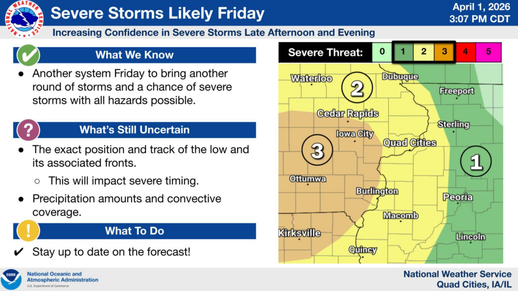
Thunderstorms are likely both Thursday and Friday. Some of the
thunderstorms may become severe with large hail, damaging winds
and a few tornadoes. The Storm Prediction Center has placed
most of the Outlook Area in a Enhanced Risk, or level 3 of 5
Risk, for severe weather on Thursday. There is also an Enhanced
Risk for severe weather for Friday afternoon and evening. This
risk area covers northeast Missouri, and eastern Iowa along and
south of Highway 30, with a Slight Risk covering much of the rest
of the area. Storms will also bring periods of heavy rain and the
potential for localized flooding.
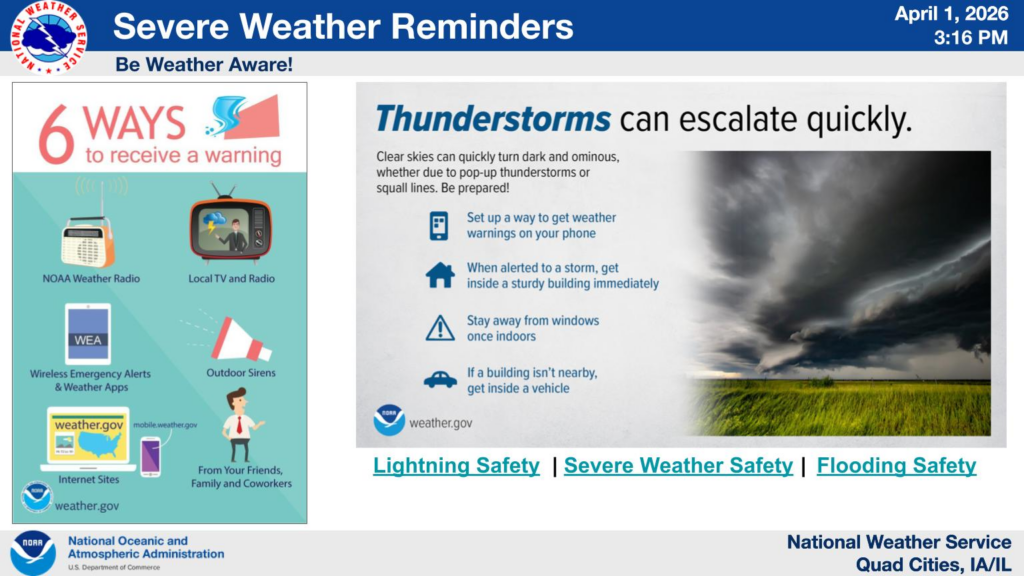
.SPOTTER INFORMATION STATEMENT…
Spotter activation will likely be needed Thursday and Friday.