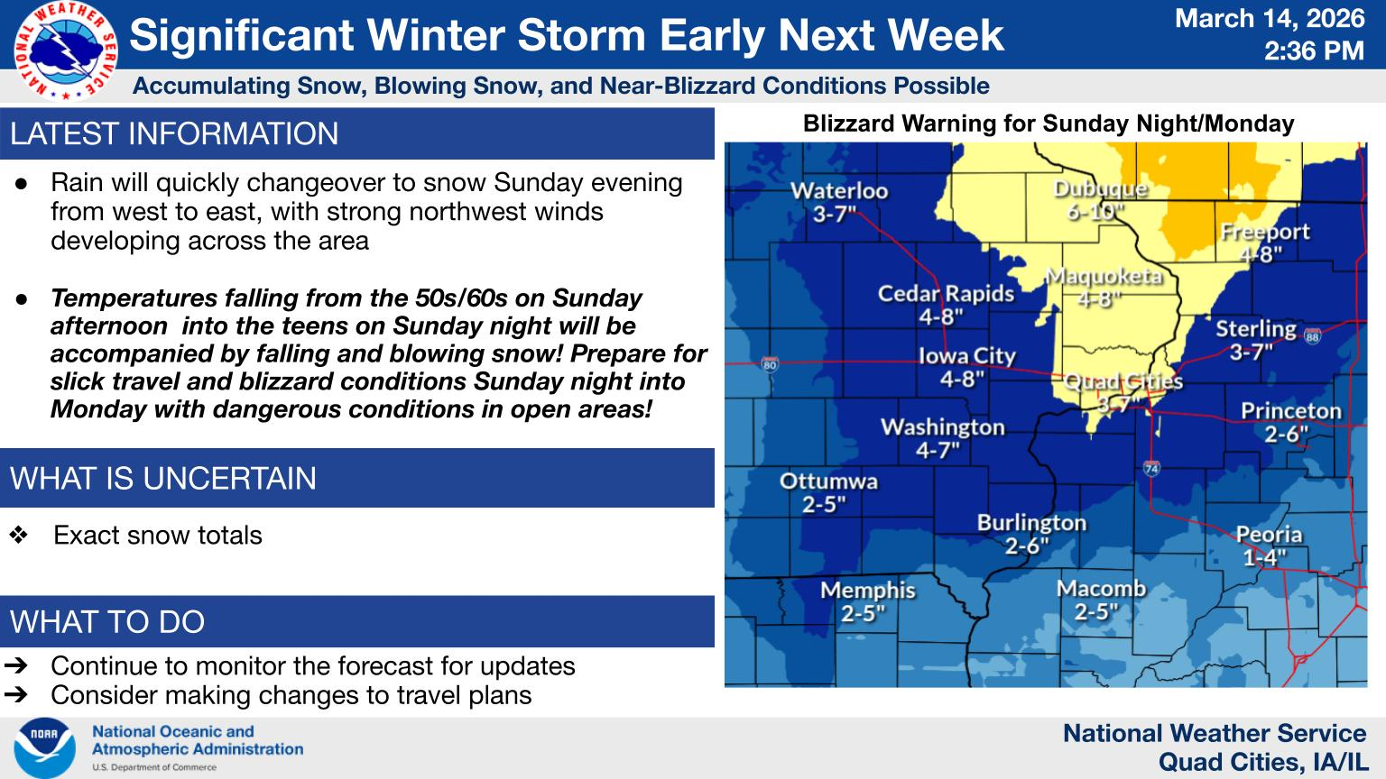
…BLIZZARD WARNING IN EFFECT FROM 7 PM SUNDAY TO 4 PM CDT MONDAY…
* WHAT…Blizzard conditions expected. Total snow accumulations
between 4 and 8 inches. Winds gusting as high as 50 to 60 mph.
* WHERE…Portions of northwest Illinois and east central Iowa.
* WHEN…From 7 PM Sunday to 4 PM CDT Monday.
* IMPACTS…Travel could be very difficult. Widespread blowing snow
could significantly reduce visibility. The hazardous conditions
could impact the Monday morning and evening commutes. Gusty winds
could bring down tree branches.
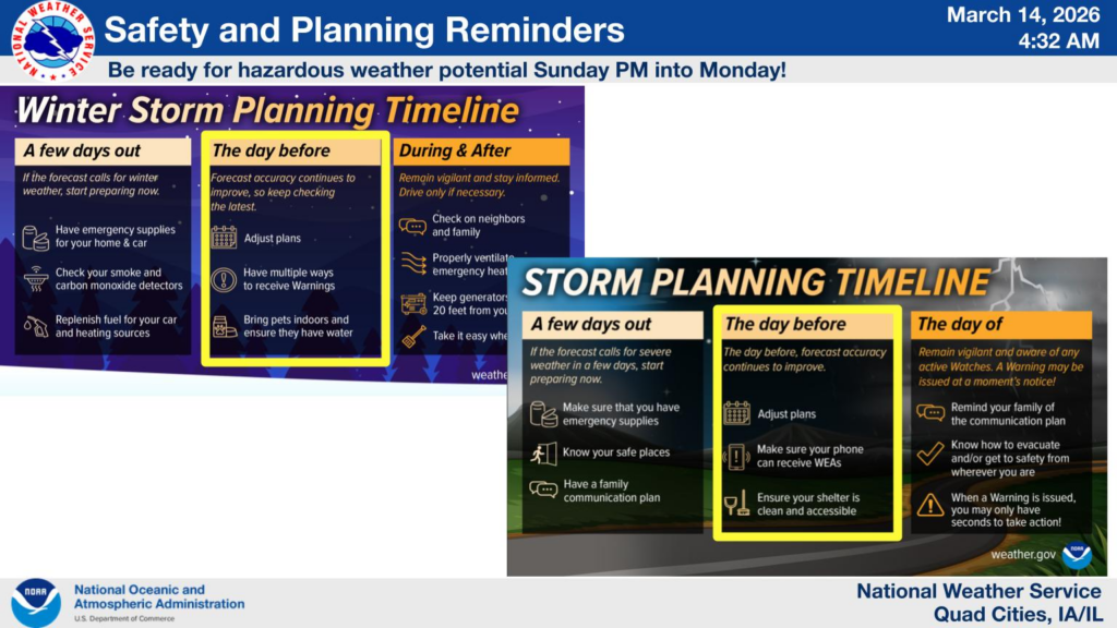
PRECAUTIONARY/PREPAREDNESS ACTIONS…
Travel should be restricted to emergencies only. If you must travel,
have a winter survival kit with you. If you get stranded, stay with
your vehicle. In Iowa, the latest road conditions are available at
511ia.org or by calling 511. In Illinois, the latest road conditions
are available at gettingaroundillinois.com.